China map: India lodges 'strong protest' over territory claims

 Getty Images
India says it has lodged a "strong protest" with China over a new map that lays claim to its territory.
Indian media have reported that the map shows the north-eastern state of Arunachal Pradesh and the disputed Aksai Chin plateau as China's territory.
It was released by China's ministry of natural resources on Monday.
"We reject these claims as they have no basis," India's foreign ministry spokesperson Arindam Bagchi said.
He added that such steps by China "only complicate the resolution of the boundary question".
Beijing has not officially responded yet.
India's Foreign Minister S Jaishankar also called China's claim "absurd".
"China has even in the past put out maps which claim the territories which are not China's, which belong to other countries. This is an old habit of theirs," he told TV channel NDTV on Tuesday.
India's protest comes days after Prime Minister Narendra Modi and Chinese President Xi Jinping spoke on the sidelines of the Brics summit in South Africa. An Indian official said afterwards that the two countries had agreed to "intensify efforts at expeditious disengagement and de-escalation" along the disputed border.
India has often reacted angrily to China's attempts to stake claim to its territory.
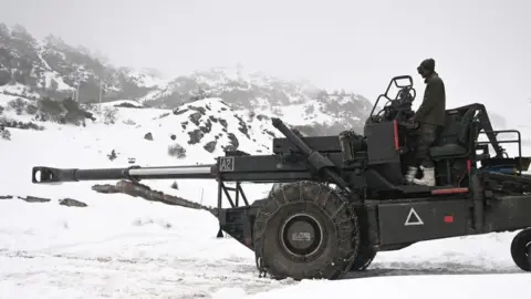
The source of the tension between the neighbours is a disputed 3,440km (2,100 mile)-long de facto border along the Himalayas - called the Line of Actual Control, or LAC - which is poorly demarcated. The presence of rivers, lakes and snowcaps means the line can shift in places.
Soldiers on either side come face to face at many points, which can spark tensions - the last time being in December when Indian and Chinese troops clashed along the border in the town of Tawang.
China says it considers the whole of Arunachal Pradesh its territory, calling it "South Tibet" - a claim India firmly rejects. India claims the Aksai Chin plateau in the Himalayas, which is controlled by China.
In April, Delhi reacted sharply to China's attempts to rename 11 places in Arunachal Pradesh, saying the state would always be "an "integral and inalienable part of India".
Relations between India and China have worsened since 2020, when their troops were involved in a deadly clash at the Galwan valley in Ladakh - it was the first fatal confrontation between the two sides since 1975.
BBC News India is now on YouTube. Click here to subscribe and watch our documentaries, explainers and features.

Read more India stories from the BBC: