
WATCH: ICBC’s latest statistics run down the most dangerous roads in the province. John Daly has more on the story.

Crowsnest. Coquihalla. Cariboo. Lougheed.
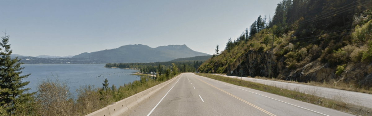
A province’s highway system is a product of both its geography and history. British Columbia, with endless mountain ranges and towns built on unique economic advantages, has a quantity and diversity of highways unique in Canada.
With that come accidents.
“When you travel through Alberta the roads are flat, the ditches are gradual, the cities very big or very small,” says Jamie Davis of Jamie Davis Towing. “B.C. highways can be a very lethal place to be.”
But which highways in this province are the most lethal? And is our highway system getting safer as more people use it?
To find out, we asked ICBC for information on every fatal crash on provincial highways from 2004 to 2013.
In total, there were 1,741 of them—many of them involving multiple vehicles and victims.
That may seem like a lot, but the number of fatal crashes have gone down substantially, from 238 in 2004 to 125 in 2013.
In determining which highways have had the most fatal crashes, we wanted to compare stretches of road that people drive regularly and relatively quickly, rather than entire lengths of highways that most British Columbians have never driven from start to finish.
Our list compares highway stretches longer than 50 kilometres between major regional centres. This can be tricky for some regions like the Kootenays and mid-Vancouver Island, but we think the overall list will be illustrative for the vast majority of people.
You can scroll down to the bottom of this post for an interactive chart listing every virtually highway stretch in the province. But these are the 12 with the most fatal crashes in the period measured.
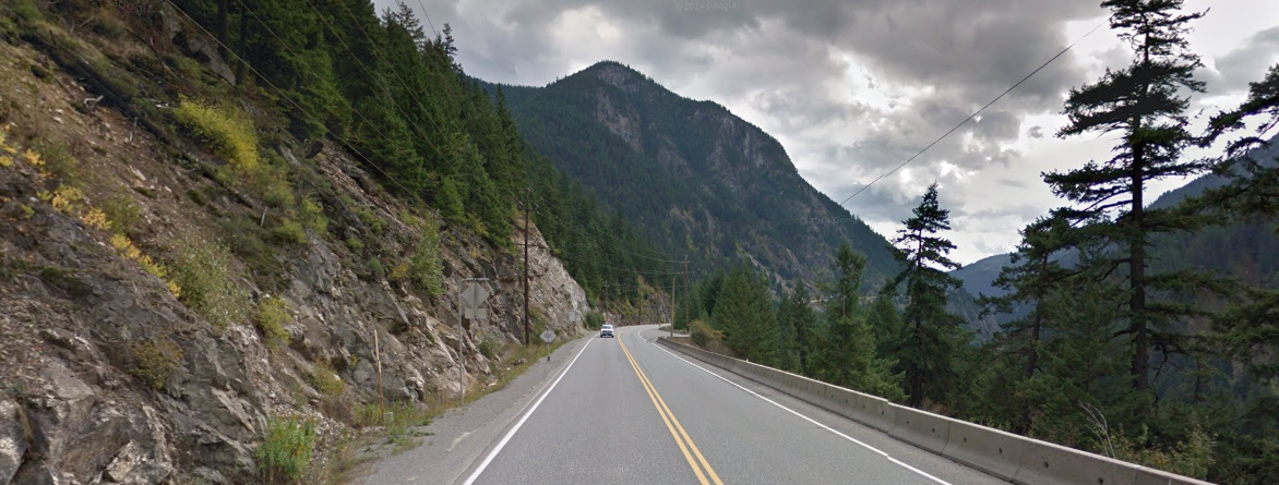
1. Revelstoke-Golden (Highway 1: 38 fatal crashes)

The 148-kilometre route has long been considered one of the most dangerous major highways in all of Canada. With few shoulders and long two-lane stretches without dividers, the mountainous route is frequently beset with major accidents, shutting down the highway entirely. Governments continue to spend hundreds of millions improving parts of the road, but multiple fatal accidents still happen year after year.
Here’s another way of looking at it: From 2004 to 2013, there were 38 fatal crashes between Revelstoke and Golden and 17 between Abbotsford and Hope.
Meanwhile, the average daily traffic from Abbotsford to Hope was 17,000 vehicles in 2013, according to data from the provincial government. From Revelstoke to Golden? Just 5,400.
READ MORE: Revelstoke Mayor says Highway 1 ‘not up to a proper and safe standard’
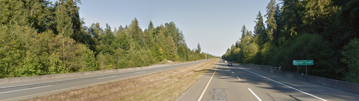
2. Burnaby-Mission (Highway 7: 33 fatal crashes)

Built in 1941 when Metro Vancouver communities north of the Fraser were much smaller, this stretch of the Lougheed Highway had six fatal crashes in 2013, most in B.C. for that year. While several parts of Highway 7 have four lanes, other parts are two lanes and dotted by homes and narrow streets. The spate of recent accidents has some local politicians calling for change.
“It’s a winding road that goes out to Mission, and needs to be once and for all upgraded,” says Coquitlam Mayor Richard Stewart.
“But it takes a lot of senior government funding.”
Maple Ridge Mayor, Nicole Reed, said Lougheed Highway leading in to Maple Ridge and Pitt Meadows is essentially a big choke point. “At busy times of the day, we see backup in traffic, so it’s definitely a frustration point for drivers in our city,” she said.
3. Merritt-Hope (Highway 5: 32 fatal crashes)

The majority of fatal crashes on the Coquihalla come on the southern half, with 13 fatal crashes between Merritt and Kamloops and four crashes at the 5/5A interchange. It’s gained a measure of infamy through the Highway Thru Hell TV show, but Jamie Davis, who stars in the series, says the highway itself is structurally sound.
“I can’t criticize the Coquihalla. The main factor is you’re driving over a mountain. It’s not a flat road, it’s a mountainous highway,” he says.
“It requires skill to drive.”
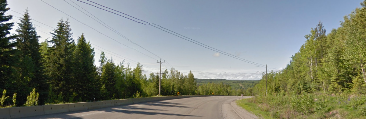
4. Fort St. John-Fort Nelson (Highway 97: 30 fatal crashes)

The northernmost major commercial route in the province, mile 47 to 283 of the Alaska Highway has long been tricky to drive, especially in the winter months where ice and wind make for a dangerous combination. But those who live in the Peace say it has gotten more treacherous as the region has grown and the number of trucks has increased.
“It’s just a reality of infrastructure not being kept up,” says Fort St. John Mayor Lori Ackerman. “We’re at a point where we have inadequate roads for the type of traffic that we get, and the weight of those vehicles on the road.”
5. Prince George-Quesnel (Highway 97: 27 fatal crashes)
You could make the case that the entire Cariboo Highway, from Cache Creek to Prince George, is the most dangerous long route in the province, with 71 fatal crashes in total from 2004 to 2013. The government is in the middle of a decade-long project of widening the area, dubbed the “Cariboo Connector“, to four lanes in several different areas.
T-6. Surrey-Abbotsford (Highway 1: 26 fatal crashes)

The busiest stretch of highway in British Columbia, it’s been greatly upgraded in the last decade due to the Port Mann/Highway 1 Improvement Project. Flat, divided and well-maintained, the number of accidents are largely due to the sheer number of cars using it every day.
T-6. Nanaimo-Courtenay (Highway 19: 26 fatal crashes)


What was once a dangerous route down the middle of Vancouver Island has become much safer since a new highway further inland was built at the turn of the century. The older, southern stretch of the highway from 19A to Highway 1 are where the vast majority of fatal crashes have taken place in the last decade.
8. Hope-Lillooet (Highway 1 & 12: 25 fatal crashes)
Despite its relatively low traffic, the narrow, winding road has had many fatal accidents over the decades, which was part of the impetus for building the Coquihalla 30 years ago. The provincial government worked with the Fraser Canyon Traffic Safety Committee last decade to enact a number of improvements and since then, accidents have gone down. 17 of the 25 fatal crashes took place between 2004 and 2008, compared to just 8 between 2009 and 2014.
T-9. Hope-Princeton (Highway 3: 24 fatal crashes)
T-9. Prince George-Chetwynd (Highway 97: 24 fatal crashes)

T-9. Kamloops-Sorrento (Highway 1: 24 fatal crashes)

T-9. Sorrento-Sicamous (Highway 1: 24 fatal crashes)
As for the time of year fatal crashes happen? While winter driving conditions can cause deadly accidents, the majority have actually happened in the summertime. In the 10-year period measured, there were 192 fatal crashes in August, 181 in July, between 145-160 in June, September, October and November, and 105-125 from January to May. The one outlier was December, with 178.
NDP MLA and safety critic Mike Farnworth said these numbers are definitely something the provincial government needs to pay attention to.
“Particularly when you see there’s the one from Revelstoke to the Golden area, that one is pretty crucial, that’s important in terms of transportation,” he said. “But when you look at the fatalities over the last number of years, it’s pretty concerning and I think the government needs to make sure to have a good understanding of what’s happening. To identify any potential hotspots, invest the necessary resources to fix the highway. If there’s issues such as speeding, deal with that as well, and then down here in the Lower Mainland, I think the Lougheed Highway, the Burnaby out to Mission stretch, is another one that really stands out as having a significant number of fatalities.”
“Again, when you see the growth in population out here, I think we need to understand, that you know where these accidents are taking place, what exactly is happening, if it means fixing the highway, doing road improvements, then that should be being done,” he added.
Wondering about the highway you drive most often? Here’s an interactive chart for every region of the province—if your route isn’t included, it means there were two fatal crashes or fewer in the period measured.
MAP: Exact location of all crashes
Comments