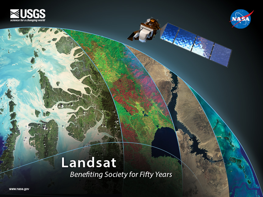
In 1972, Stewart Udall—a former Secretary of the Interior and an original Landsat visionary—said, “I thought an Earth applications program was a perfect means of bringing the benefits of space back to Earth.” Udall was one of the first people to realize that Earth observation—turning space-based cameras and sensors back towards us—provided a way to better protect and provide for Earth’s inhabitants. When the first Landsat launched in 1972, the world population was 3.8 billion and space policy experts of the time considered improving environmental management in order to protect humankind a top-priority for the U.S. They were in favor of “those applications of space technology which produce direct tangible benefits for society in general.” Landsat did just that.
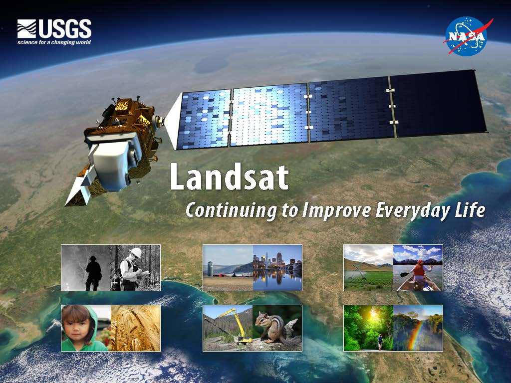
By the time the latest Landsat, Landsat 8, launched in 2013, world population was over 7 billion. By amassing information about changes to Earth’s land surface for more than 40 years, the Landsat program has provided decision makers tasked with managing Earth’s resources for the planet’s burgeoning population with integral information about the world’s food, forests, water, and how these and other land resources are being used. The case studies featured here highlight some of these tangible benefits of Landsat.
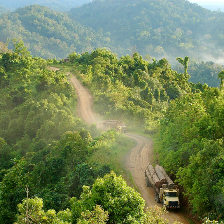
Forests are commodities. The biggest driver of deforestation worldwide is the economic value of trees and the land they stand on. With the high demand for agricultural land and wood products, deforestation has become an intractable problem.
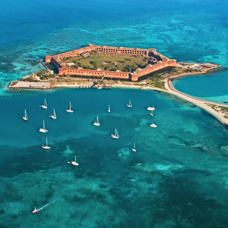
On the most recent nautical chart of the Dry Tortugas, a grouping of islands that lies seventy miles west of Key West, Florida, Landsat data provided the estimated water depths for areas too shallow and difficult to be reached by the National Oceanographic and Atmospheric Administration’s (NOAA) surveying ships.
The answer to this riddle could end up rippling across the country and the planet—from places like the Upper Klamath and Rio Grande basins to every other arid and semi-arid landscape where water consumption drives community discussion. When it comes to water, when does less actually mean more?
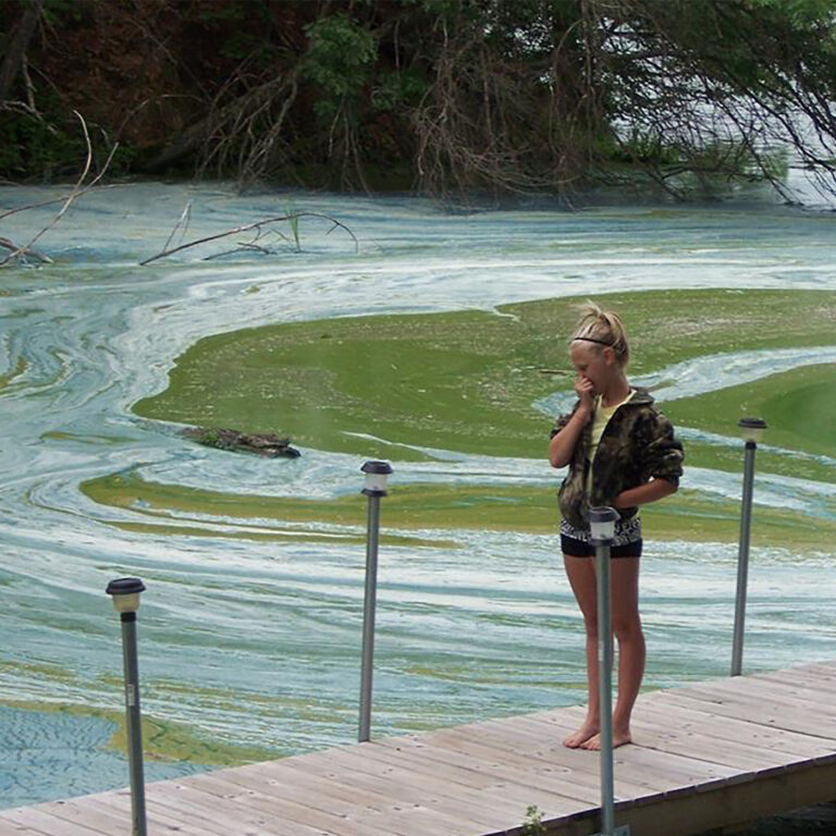
The world over, a tiny organism is causing a big problem. Cyanobacteria, unicellular algae that live mostly in fresh water, are growing in abundance. When this booming growth occurs, the resulting algal blooms can be a nuisance to people, plants and animals, or worse—toxic.
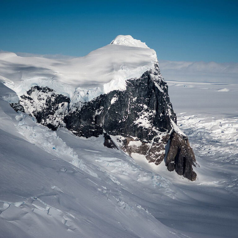
Glaciers and ice sheets move in unique and sometimes surprising patterns, as illustrated by satellite-based technology that maps the speed of flowing ice in Greenland, Antarctica, and mountain ranges around the world.
Glaciers and ice sheets move in unique and sometimes surprising patterns, as illustrated by satellite-based technology that maps the speed of flowing ice in Greenland, Antarctica, and mountain ranges around the world.
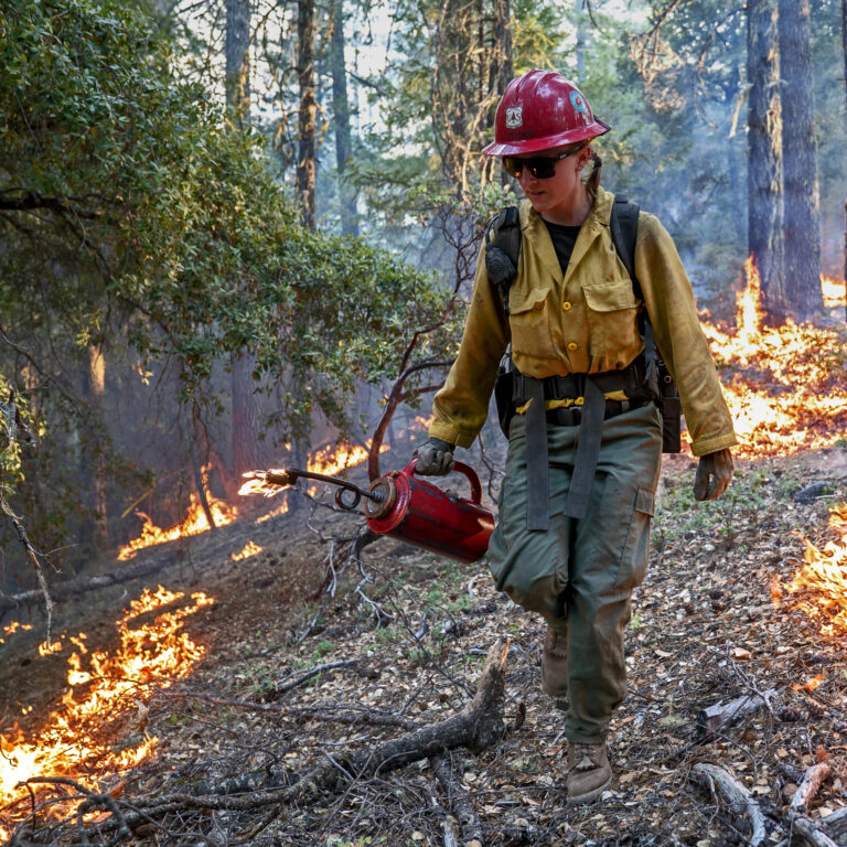
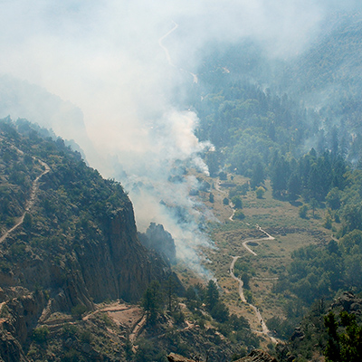
At 8 p.m. on Thursday, May 4th, 2000, after months of planning, fire boss Mike Powell ignited a routine prescribed fire at the Bandelier National Monument just outside of Los Alamos, New Mexico. The burn was intended to reduce hazardous fuel (like dead trees and accumulated brush) in the Upper Frijoles Creek drainage area on the eastern rim of the Jemez Mountains. Initially it went as expected, but…
Pam Anderson and her colleagues at the Minnesota Pollution Control Agency’s Lakes and Streams Monitoring Unit have an unusually big job. Popularly known as the Land of 10,000 Lakes and home to more than 12,000 of them, Minnesota has vast water resources, and Anderson and her colleagues are responsible for monitoring, managing, and protecting all of them. It would be an impossible task if not for satellite data.
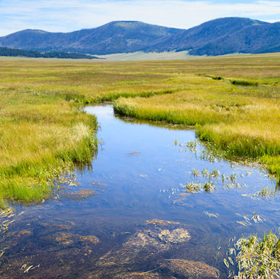
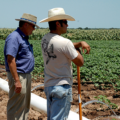
Dean Stevenson has farmed the plains of south-central Idaho most of his forty-seven years. Like all farmers, he worries about things like the price of sugar beets and malt barley or the cost of gasoline, but most of all, he worries about water.
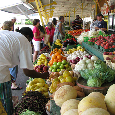
From George Washington to Abraham Lincoln, early U.S. presidents struggled to determine the value and extent of U.S. agriculture—then the country’s primary economic engine. Despite Washington’s best efforts, the U.S. did not have an annual agricultural survey until Abraham Lincoln established the Department of Agriculture in 1862.
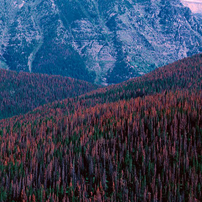
Standing at the foot of a mountain inside Sheepshead Recreation Area just outside of Butte, Montana, Sue Cummings remembers the day she married her husband 25 years ago. She recalls her casual off-white dress and the deep green of the forest. The smell of pines still brings her back to that day.
How many trees are there in the world? It’s more than a trivia question, and one that the United Nations Food and Agriculture Organization (FAO) has been striving to answer every 5 to 10 years since 1946.
Year after year, somewhere on Earth, natural or manmade disasters cause loss of life and widespread destruction, frequently spawning refugee situations. Though the risk of a disaster is low in any one particular place, earthquakes, volcanoes, floods, fires, landslides, oil spills, and hurricanes—when considered together on a global scale—regularly menace people, property, and natural resources.