


NASA’s Orion spacecraft will need more than your average GPS to navigate during Artemis missions to the Moon. Scientists have not yet demonstrated the ability to receive GPS signals at the Moon, so Orion and the future astronauts it carries will rely on a different system to navigate on treks to the Moon and back.

To reach its destination, Orion has an advanced guidance, navigation, and control (GN&C) system, responsible for always knowing where the spacecraft is located in space, which way it’s pointed, and where it’s going. It even controls the propulsion system to keep the spacecraft on the correct path.
The system uses an array of different sensors to calculate Orion’s position in space. Software in Orion’s computers receives input from these sensors and then gives the spacecraft necessary commands to navigate. Like most systems on the spacecraft, there are usually at least two of each sensor to increase reliability.
“Once Orion knows which way it’s pointed, it can determine the direction of the Moon, Earth, and Sun,” said Shane Robinson, Orion relative navigation sensors lead at NASA’s Johnson Space Center in Houston. “The GN&C system can then make any needed corrections to Orion’s path.”
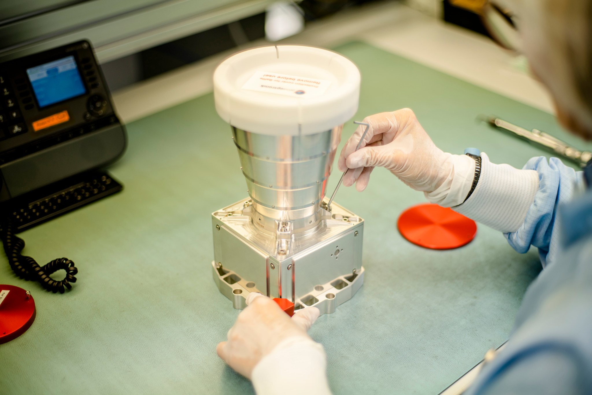
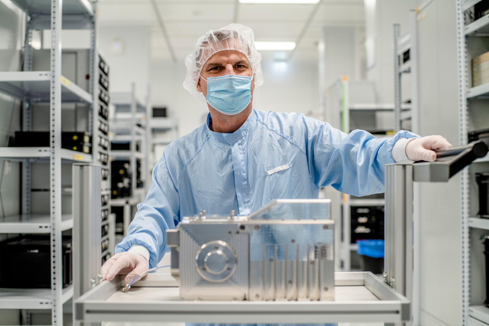
One set of the system’s sensors are known as star trackers – sensitive cameras that take pictures of the star field around Orion. By comparing the pictures to its built-in map of stars, the star tracker can determine which way Orion is oriented. Orion is equipped with two star trackers, built by Jena-Optronik GmbH in Germany.
Another camera that will help guide Orion is the Optical Navigation, or OpNav, camera that takes images of the Moon and Earth. By looking at the size and position of the celestial bodies in the image, the OpNav camera can determine Orion’s angle and its distance from them to keep Orion on course. The camera also can help Orion autonomously return home if the spacecraft were to lose communication with Earth.
“The vehicle also needs to know where the Sun is located,” said Robinson, “so that it points the solar arrays in the right direction. It’s also important to know which side of the spacecraft the Sun is heating.” Orion’s solar arrays convert the Sun’s energy to power the spacecraft, so the tail of the spacecraft ideally is pointed toward the Sun.
To determine the direction of the Sun, Orion uses Sun sensors located on its service module provided by ESA (European Space Agency). The Sun sensors allow Orion to check its attitude, or the orientation of the spacecraft relative to its direction of travel, and ensure it can point its solar arrays in the right direction to produce electricity and keep power flowing.
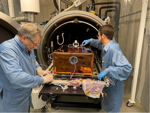
Lidar sensors, also built by Jena Optronik, are another part of the GN&C system that will fly beginning with the Artemis III mission. Lidar, which is short for light detection and ranging, is a method for determining distance. It works by targeting a laser pulse at an object and measuring the time it takes for the reflected light to return to the receiver.
When Orion prepares to dock with another spacecraft on future Artemis missions, two lidar sensors inside the tunnel of Orion’s docking mechanism will measure distance from the target and help the control system to bring the two spacecraft together.
The system on board Orion uses the lidar to measure the alignment of the docking mechanisms on each spacecraft. If they are misaligned, it takes corrective action by firing the appropriate thrusters.
“Lidar plays a central role in making sure vehicles come together in a very precise, controlled, and safe way,” said Robinson.
Orion’s different sensors are key elements in determining where the spacecraft is located, getting it where it needs to go, and helping ensure success on the spacecraft’s increasingly complex missions over the next decade that will enable human exploration missions to the Moon and Mars.
Learn more about the Orion spacecraft at:
Erika Peters
NASA’s Johnson Space Center